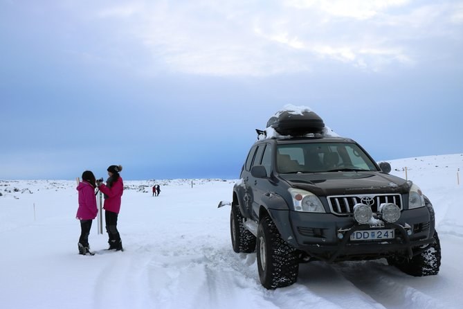
Lake Mývatn and Powerful Dettifoss Day Tour from Akureyri
Max 12Pickup1.5 hours at the falls
From $401 per person
Dettifoss is one waterfall with two entirely separate visits attached to it. The canyon is forty-four metres deep at the falls and nothing bridges it there, so the road you choose is the visit you get. This guide is the decision, made properly.
| West — Route 862 | East — Route 864 | |
|---|---|---|
| Surface | Paved the whole way | Gravel, slow |
| Season | Year-round, not in winter service Jan–early Apr | First autumn snow to about end of May |
| Vehicle | Any car in summer | Higher clearance sensible |
| Car park | Larger, with toilets | Smaller, nothing |
| The view | From above and across | Head-on, level with the lip |
| Walk on to | Selfoss, 0.6 km | Hafragilsfoss rim viewpoint |
| Crowds | Most of them | Very few |
| Guided tours | All of them | None |
Every guided departure listed goes to the west rim, and the reason is structural rather than editorial. A coach or a minibus on a gravel road that opens in late May and closes in October cannot be scheduled reliably, and no operator is going to build a season around it. If you are booking a seat, the decision is already made and this guide is about what you will see when you get there.
Because there is no bridge at the falls. The nearest crossings are far enough away that going from one viewpoint to the other takes about two and a half hours of driving, either north to Route 85 and back down, or south to the Ring Road and back up. Standing on one rim looking at people on the other, that is not obvious, and it is worth knowing before you plan a day around seeing both.
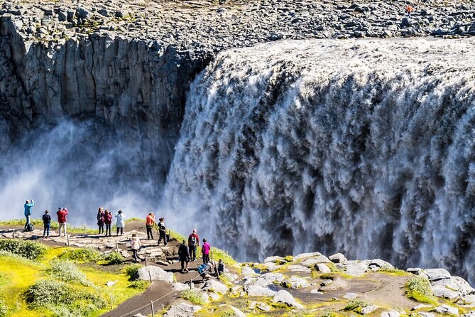
The classic view: you stand above the lip and look down and across the full hundred-metre width of the curtain, with the canyon opening out below. The path splits, and both branches matter. The upper one reaches the viewpoint over the top of the falls. The lower one takes about five more minutes and puts you closer to the base, where the spray is heavy enough that waterproofs stop being optional.
It also gives you Selfoss. The signpost at the junction reads Dettifoss 0.2 kilometres one way and Selfoss 0.6 the other, and the national park rates the circuit between them as about 2.5 kilometres, roughly an hour, easy. That walk is the single best use of spare time here and most day tours do not allow for it.
The head-on view, from the level of the lip, which is the angle behind most of the photographs that made you want to come. It is closer to the water and it feels closer still. You also get the rim viewpoint over Hafragilsfoss, 27 metres and about two kilometres downstream, which almost nobody sees because the road is shut for over half the year. The canyon walls on this stretch carry iron-oxide reds the west side does not show.
What you give up: a paved road, toilets, the Selfoss walk, and any chance of being there between October and May.
Yes, in summer, driving yourself, and it makes a long day. Two hours from Akureyri to the west side, an hour or two there, two and a half hours round to the east side, an hour there, and two hours back — call it ten to eleven hours with very little slack. It works best if you are staying at Lake Mývatn or Ásbyrgi rather than in Akureyri, which cuts two hours out of each end.
Most people who ask this question would be better served by doing the west side properly, including Selfoss, and treating the east side as a reason to come back. Roads and access has the drive times.
| Month | West | East | What to do |
|---|---|---|---|
| January–March | Not in winter service | Closed | Book a departure; the operator makes the call |
| April | Winter service returns | Closed | West side, and check the morning before |
| May | Open | Usually reopens late in the month | West side unless the east is confirmed open |
| June–August | Open, busy | Open | Either. East if you want it quiet |
| September | Open | Open, can close without notice | Both, if you have the day |
| October–December | Open, icing | Closed | West side, with grip on your boots |
Yes, and not in the way people expect. The west-side walk is longer — about a kilometre from the car park — but level, gravel and marked, and the national park rates it easy. The east-side approach is shorter but rougher underfoot, over broken basalt, with less in the way of a made path.
Both ice. The rock near the falls is kept permanently wet by spray, and from autumn to spring that becomes a genuine problem rather than an inconvenience. Travellers on these departures have described needing crampons in February, and guides on several of them carry spikes and hand them out.
From Akureyri the west rim is about two hours each way, on tarmac the whole distance once you leave the Ring Road. The east rim is further and slower: you approach from the north off Route 85, and the gravel section is the part that eats the clock. Budget two and a half to three hours each way and treat any estimate as optimistic in wet conditions.
From Lake Mývatn the west rim is about forty minutes, which is why staying at Reykjahlíð rather than Akureyri transforms this trip. From Ásbyrgi the east rim is closer than the west, which is the one case where the gravel road is the sensible choice rather than the adventurous one.
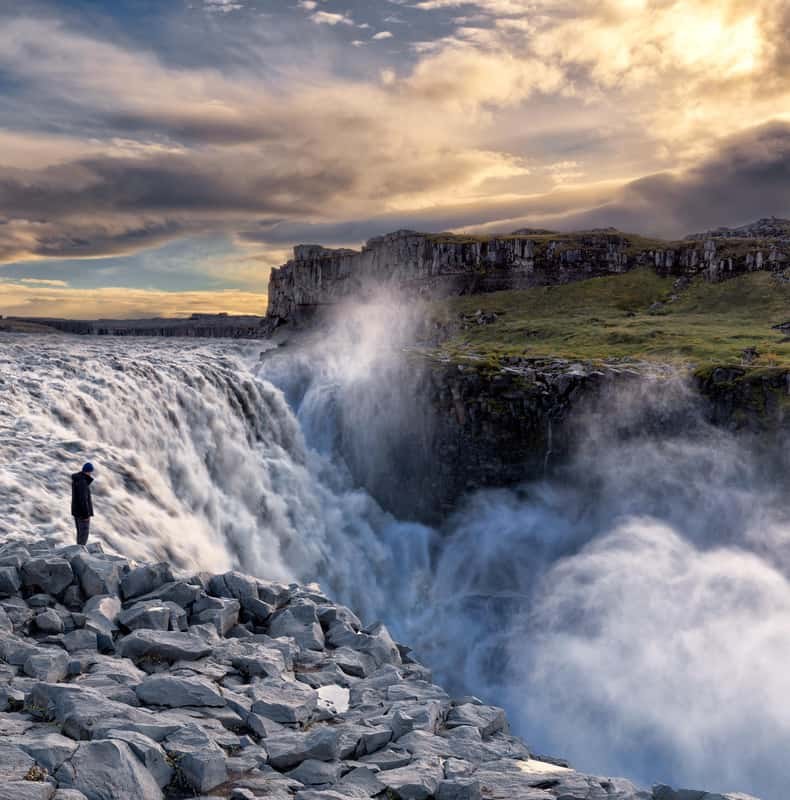
It does, and this is worth knowing before you choose. From the west you are above the lip, so what you see is the shape of the fall: a hundred metres of river bending over an edge, with the canyon opening below. From the east you are level with it, so what you see is the wall — the whole face of the water at once, with the spray column rising in front of you rather than below.
Neither is better. The west is the picture in most guidebooks; the east is the one that makes people say the photographs did not prepare them. If you are choosing on photography alone, the west rim in early afternoon gives you the rainbow in the spray, and the east rim at any hour gives you scale.
It reopens completely. The whole reason the west rim dominates is the two-hour drive from Akureyri; remove that and both rims are an easy morning apiece. Reykjahlíð at Lake Mývatn puts you forty minutes from the west car park, and Ásbyrgi has a campsite and the Gljúfrastofa visitor centre at the northern end of the canyon.
Two nights out there is the version of this trip that gets you both rims, Selfoss, Hafragilsfoss and the canyon between them, without a single rushed stop. It is also the version almost nobody does, because Akureyri has the hotels and the airport.
There is a third option almost nobody takes: the 32-kilometre trail through Jökulsárgljúfur between Ásbyrgi and Dettifoss, along the east side of the canyon. It is a full day's walking or an overnight, it needs planning and a shuttle at one end, and it shows you the gorge rather than the waterfall. If you have the days and the legs it is the best thing here. It is not a substitute for a viewpoint visit.
Ask yourself whether you are coming back to Iceland. If the answer is probably not, take the west rim, walk to Selfoss, and see two waterfalls properly rather than one waterfall from two angles. If the answer is yes, or you are already staying out at Mývatn or Ásbyrgi, the east rim is the one you will remember, and it is the one you cannot get on any guided departure.
For the roads themselves, roads and access. For where everything sits, the map. To compare the departures that use the west rim, Dettifoss Tours.
From $401 per person
From $209 per person
From $306 per person